- Login
Louis Stanislas D'arcy De La Rochette (? - ?)
Item 1 of 1
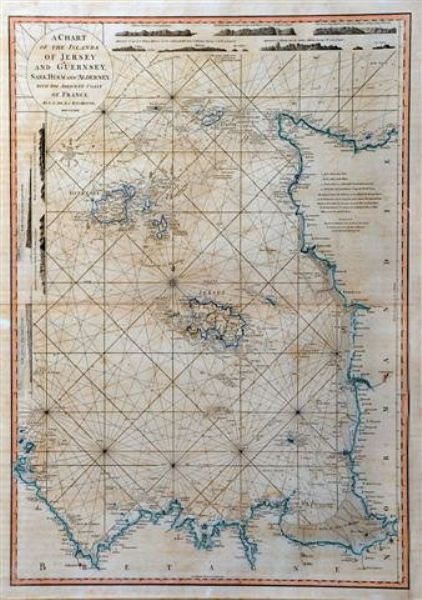
| A chart of the Islands of Jersey and Guernsey, Sark, Herm and Alderney with the adjacent 'Coast of France' | |
| Louis Stanislas D'arcy De La Rochette (? - ?) | |
| 367 | |
| Engraving | |
| Prints & Graphic Art | |
| 28 cm - 20.5 cm (11.02 in - 8.07 in) | |
| Signedin to unlock | |
| Auction 04/04/2012 | |
| Apr 03, 2012 |
A chart of the Islands of Jersey and Guernsey, Sark, Herm and Alderney with the adjacent 'Coast of France'
367
Engraving
Prints & Graphic Art
28 cm -
20.5 cm (11.02 in -
8.07 in)
Apr 03, 2012